New Earthquake Sensors Track Record-Breaking Seabed Sediment Flows

How do large mud and sand currents influence the deep-sea habitat? And how can they be better understood? An international research team led by Durham University, UK, and including the University of Göttingen and GEOMAR Kiel, Germany, investigated further. They analysed seabed activity by repurposing instruments that are usually used to study earthquakes. The researchers used a new approach which enabled them to record two massive sediment avalanches off the west coast of Africa. The results were published in the journal Geophysical Research Letters.
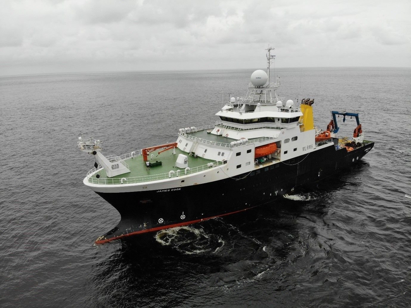
Seabed sediment avalanches – known as “turbidity currents” – create the deepest canyons on Earth, deposit huge amounts of sediment and repeatedly destroy telecommunication cables. Until now, these processes have been little understood, as any measuring devices in their path tend to be destroyed by the force of the turbidity currents. In 2019, the team therefore installed a dozen ocean-floor seismometers in the Congo Canyon off the west coast of Africa for the first time. These measuring devices record signals emanating from the surface and the seabed of our planet. At a safe distance of several kilometres, the researchers were able to measure a number of individual currents, which eventually rolled down the Congo Canyon as two massive turbidity currents. They roared for more than 1,000 kilometres at a speed of 13 to 27 kilometres per hour for many days through the deep ocean gorges. In addition, they not only transported warm surface water into the deep sea, but also large quantities of organic carbon – almost a quarter of the total amount that all the rivers in the world together release into the oceans each year.
“Turbidity currents thus make a significant contribution to the removal of carbon from the environment, but also ensure that the deep-sea ecosystem is repeatedly disturbed by massive erosion and deposition of new material and pulses of warm surface water,” explains Dr Michael Dietze at Göttingen University’s Department of Physical Geography. “Seismic data can be used to record the start of such events down to the second, track the course, determine the velocity and reconstruct the size of an event. This brings us closer to answering many crucial questions, such as how often these events occur, how they are triggered and what the consequences might be.”